
Specific Information, always up-to-date
The Geographic Information System (GIS), based on ArcGIS technology, captures, stores, manipulates, analyzes, manages, and presents spatial and geographical data in the field and back office.
Field Survey
The GIS tool is used by field engineers in the field survey phase to capture and validate data in the field based on running lines, parcels, addresses and obstacles. Field engineers can capture all kinds of information and make changes directly in the field, using tablets. This can be done in offline or online mode.
All changes in the field can be monitored from a central location to support the field engineers, validate information and to track the progress. Progress is visualized using maps and colours and is supported by our business intelligence system which is, when requested, able to instantly provide deviations from the original plan.
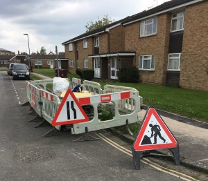
Construction 

During the Construction phase, the GIS tool is used to capture progress in the field, using a visualization of the Low Level Design (LLD).
The tool captures the progress of the construction and is visualized in real-time in the project module and the different dashboards.
Field Changes & Rework
Changes, adjustments and deviations can be entered directly, online of offline. Changes are directly included in the database and visualized in the dashboard. Permits for rework and changes are automatically converted into predefined and customer-tailored workflows.
 Geographical Coordinates
Pictures, movies, documents, changes and rework can be added to the design with the mobile app. They are saved using geographical coordinates.
Solutions
Do you have any questions? Don’t hesitate to ask us!